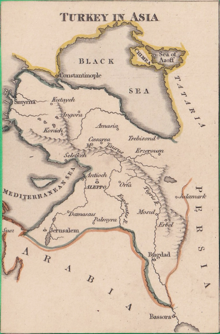
REF: TURKEY IN ASIA
£60.00
![]()
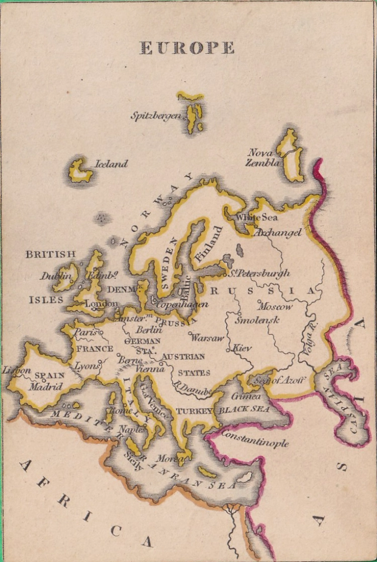
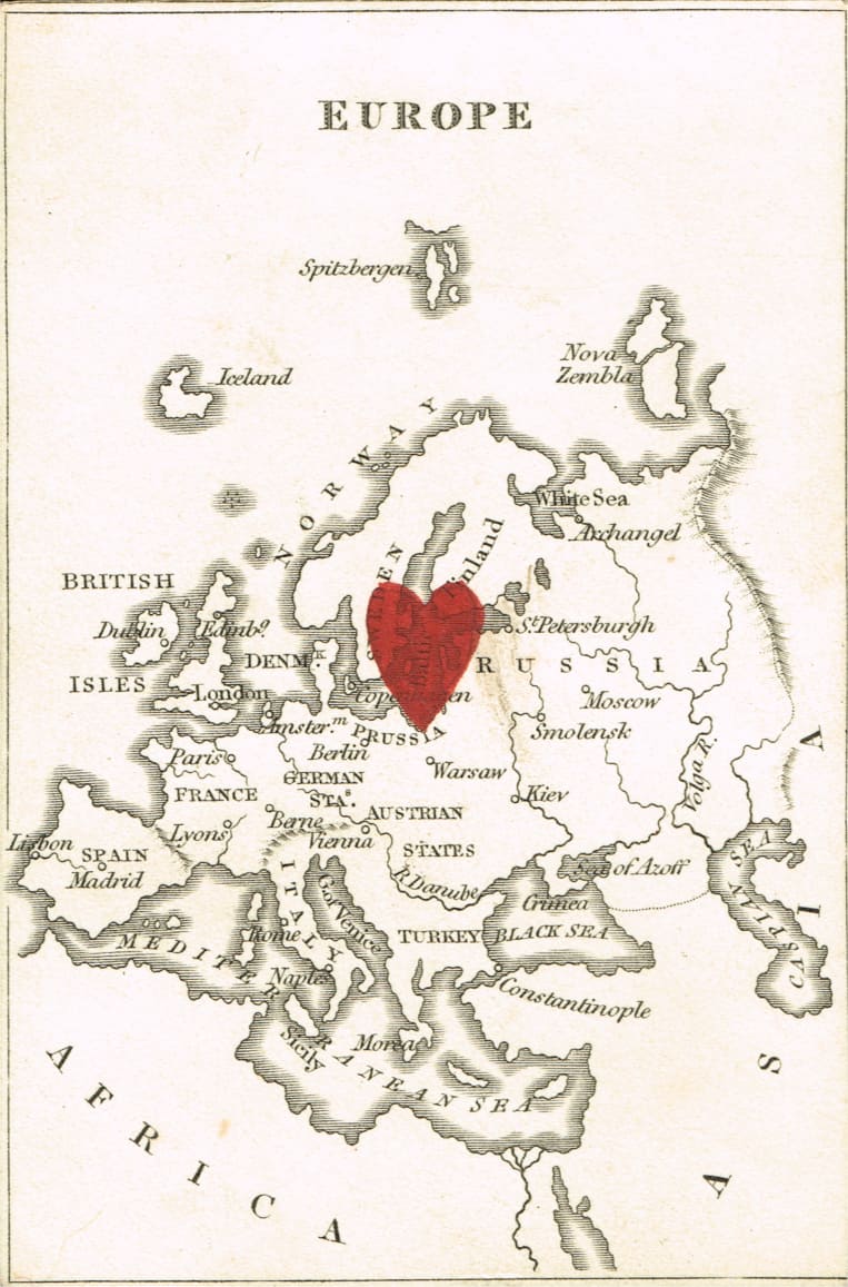
REF: EUROPE
£75.00
![]()
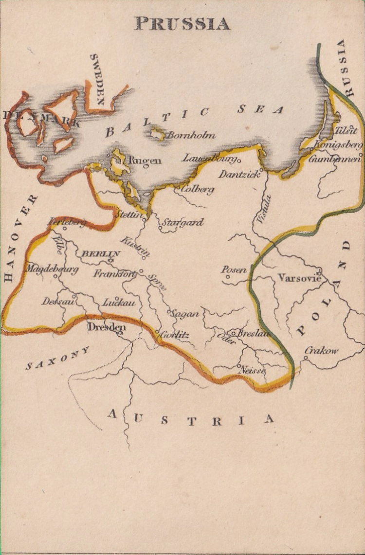
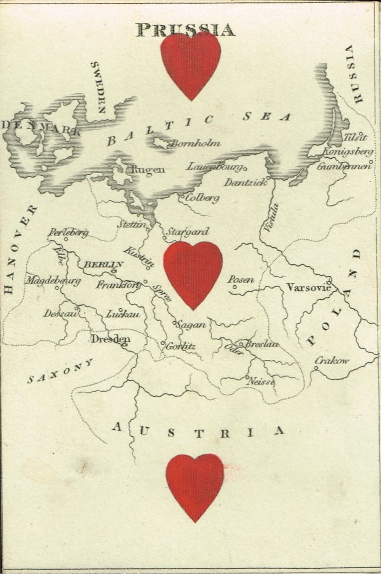
REF: PRUSSIA
£60.00
![]()
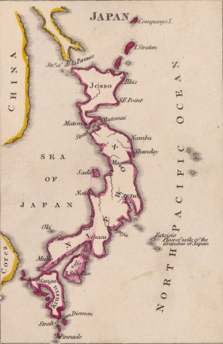
REF: JAPAN
£60.00
![]()
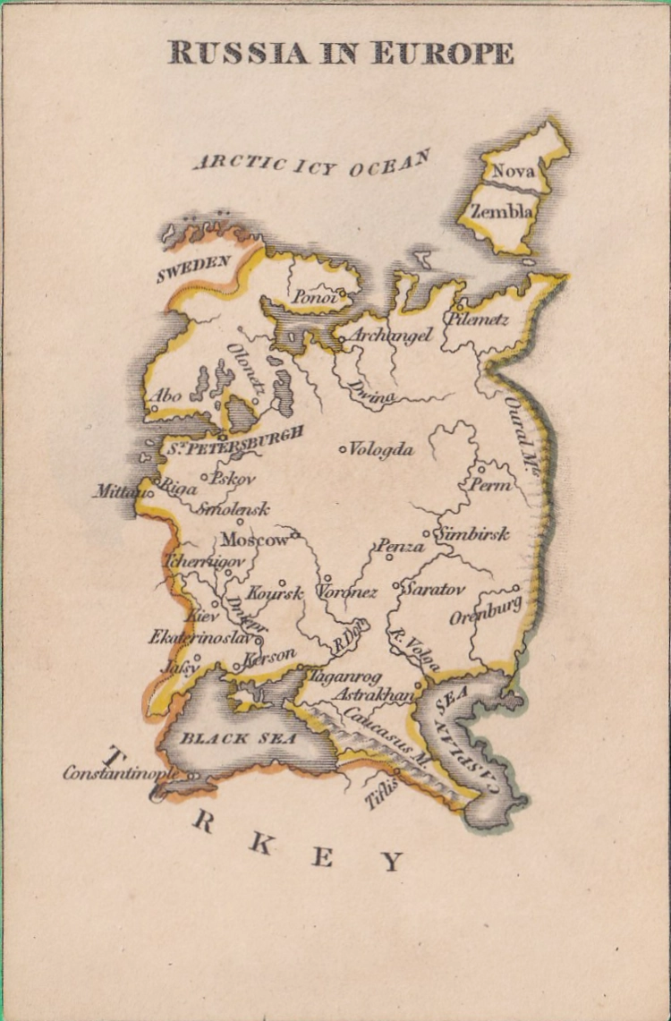
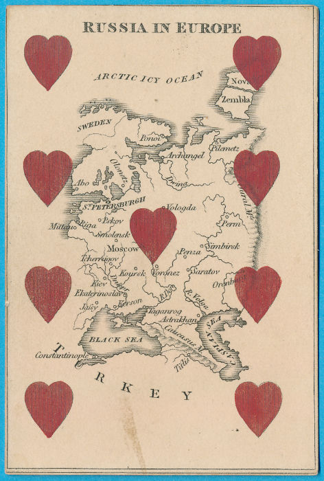
REF: RUSSIA IN EUROPE
£70.00
![]()
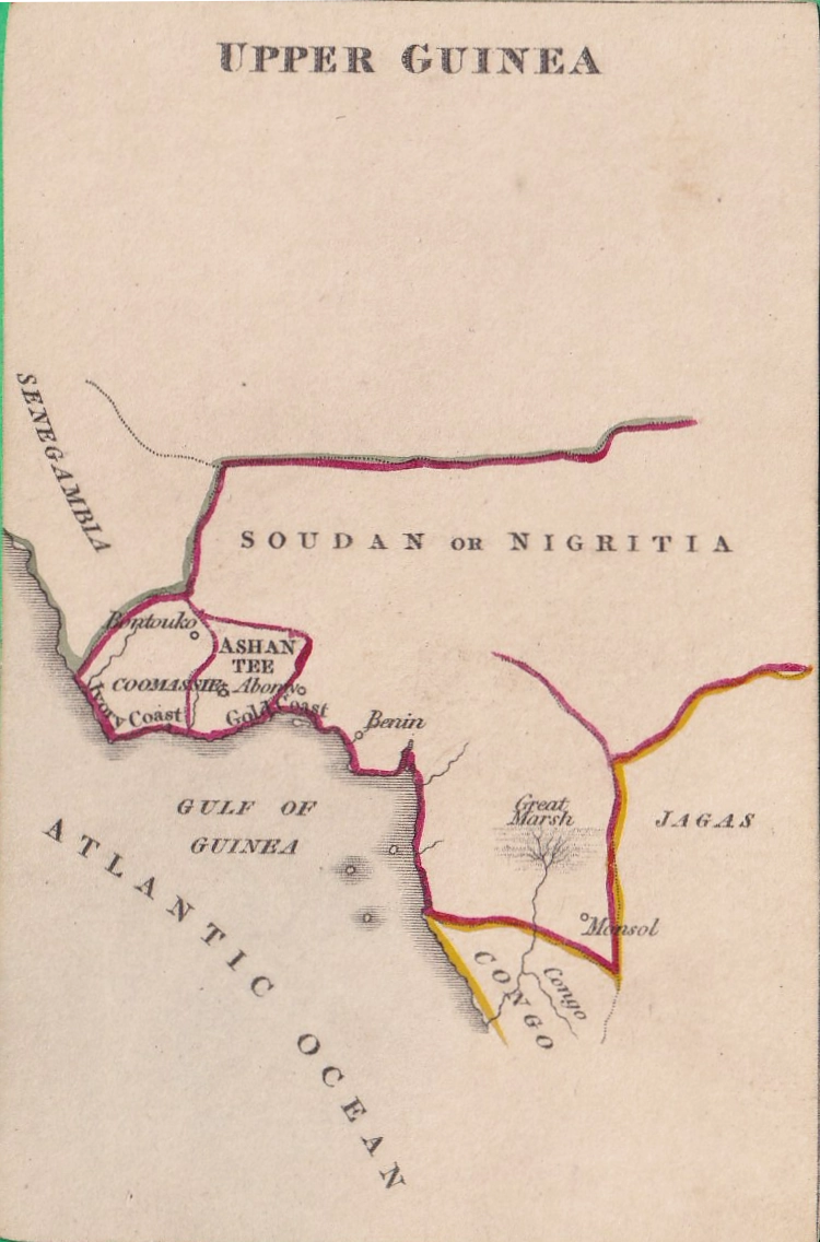
REF: UPPER GUINEA
£40.00
![]()
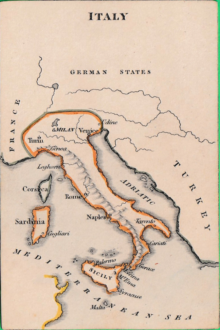
REF: ITALY
£60.00
![]()
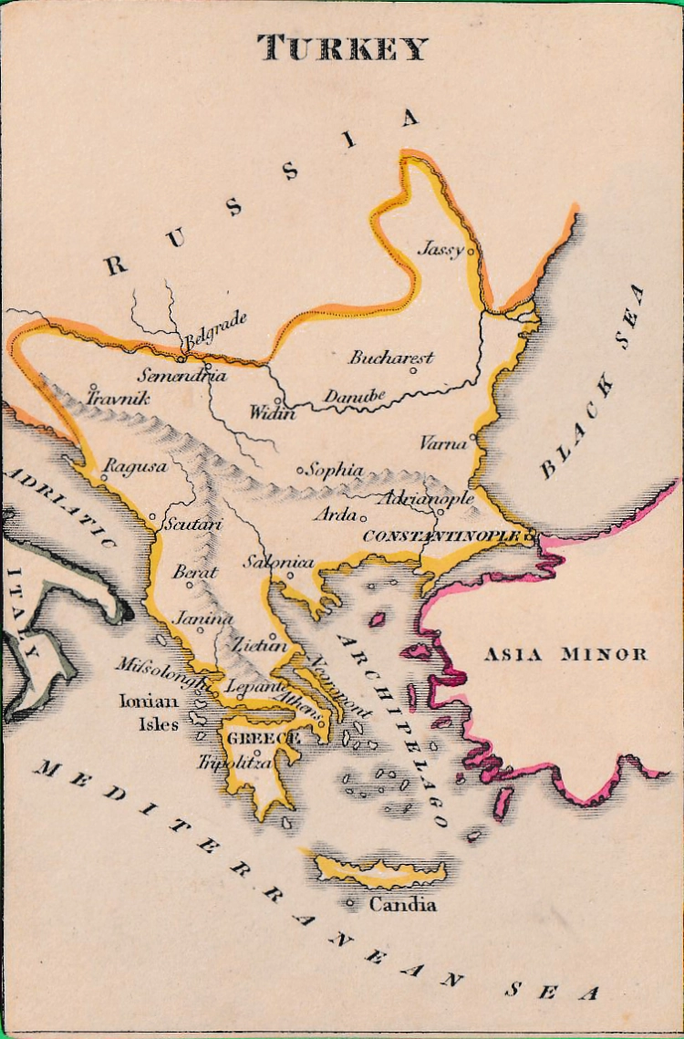
REF: TURKEY
£70.00
![]()
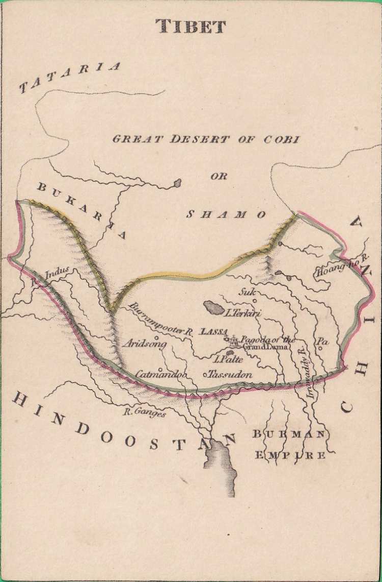
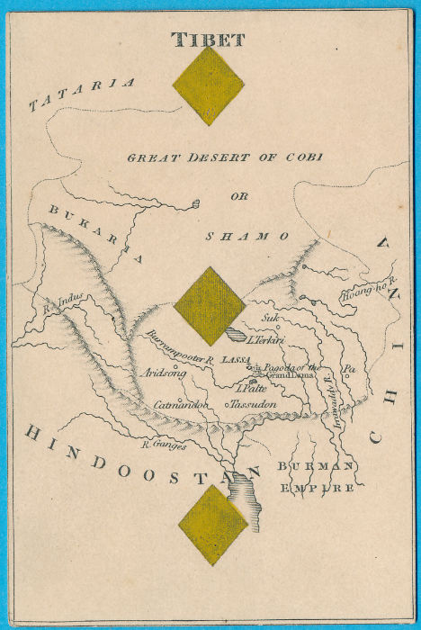
REF: TIBET
£80.00
![]()
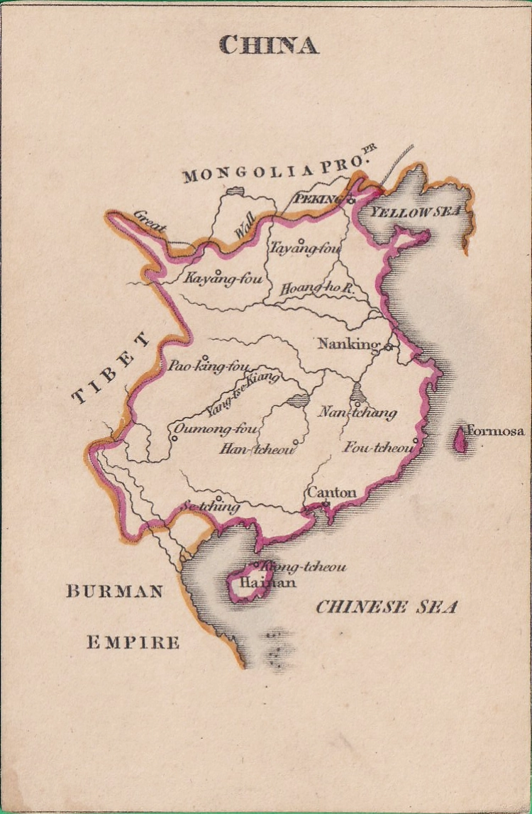
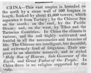
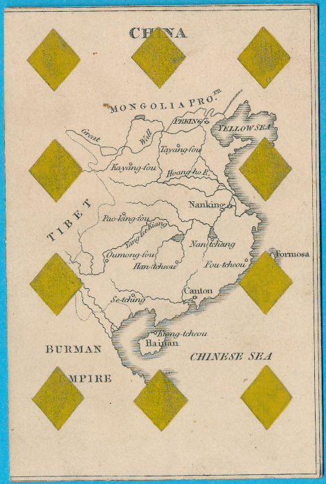
REF: CHINA
£80.00
![]()
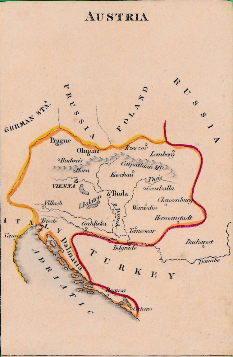
REF: AUSTRIA
£60.00
![]()
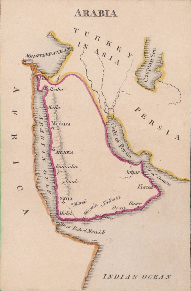
REF: ARABIA
£80.00
![]()
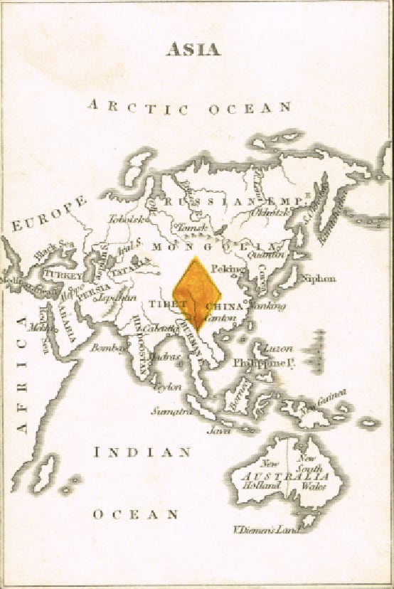
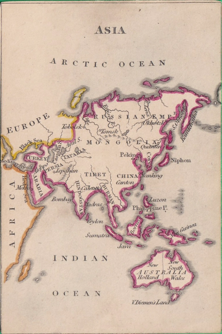
REF: ASIA
£90.00
![]()
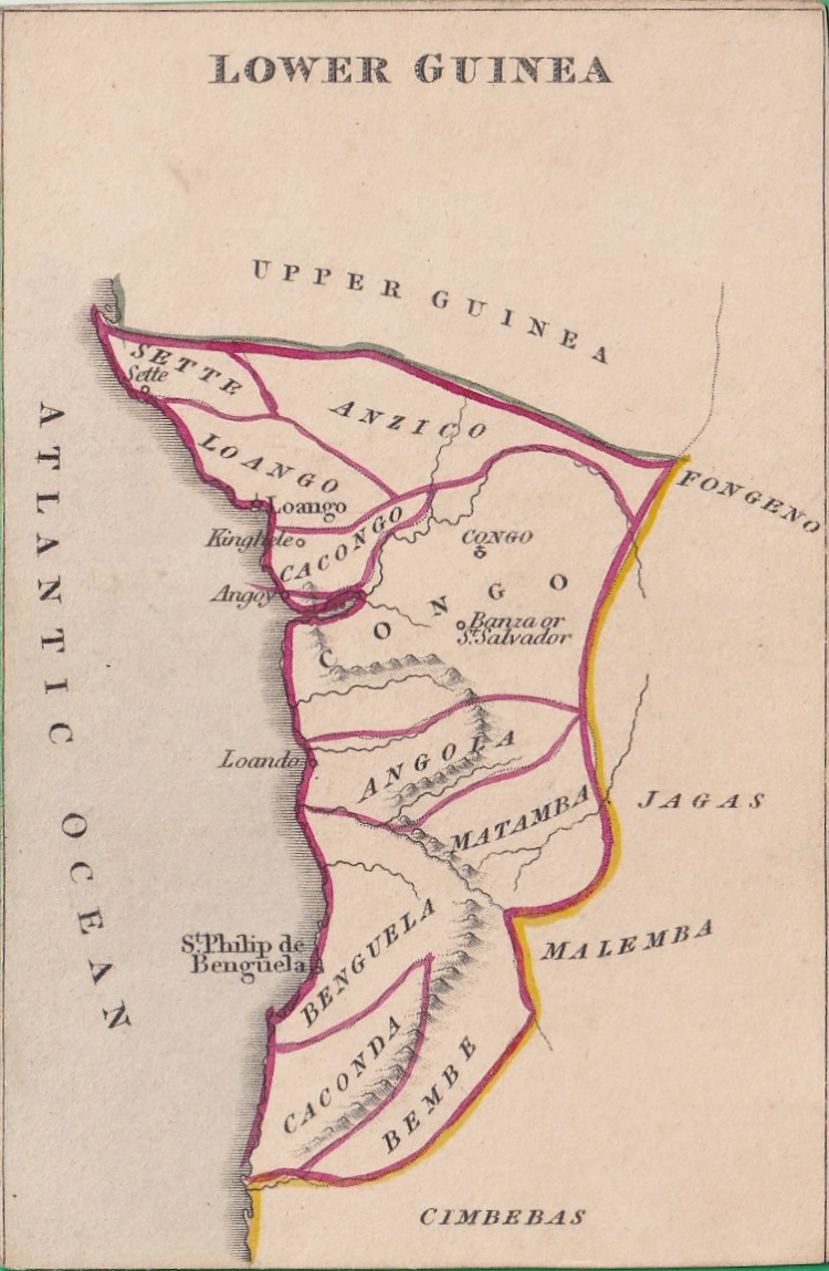
REF: LOWER GUINEA
£40.00
![]()
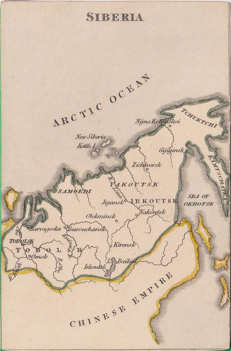
REF: SIBERIA
£50.00
![]()
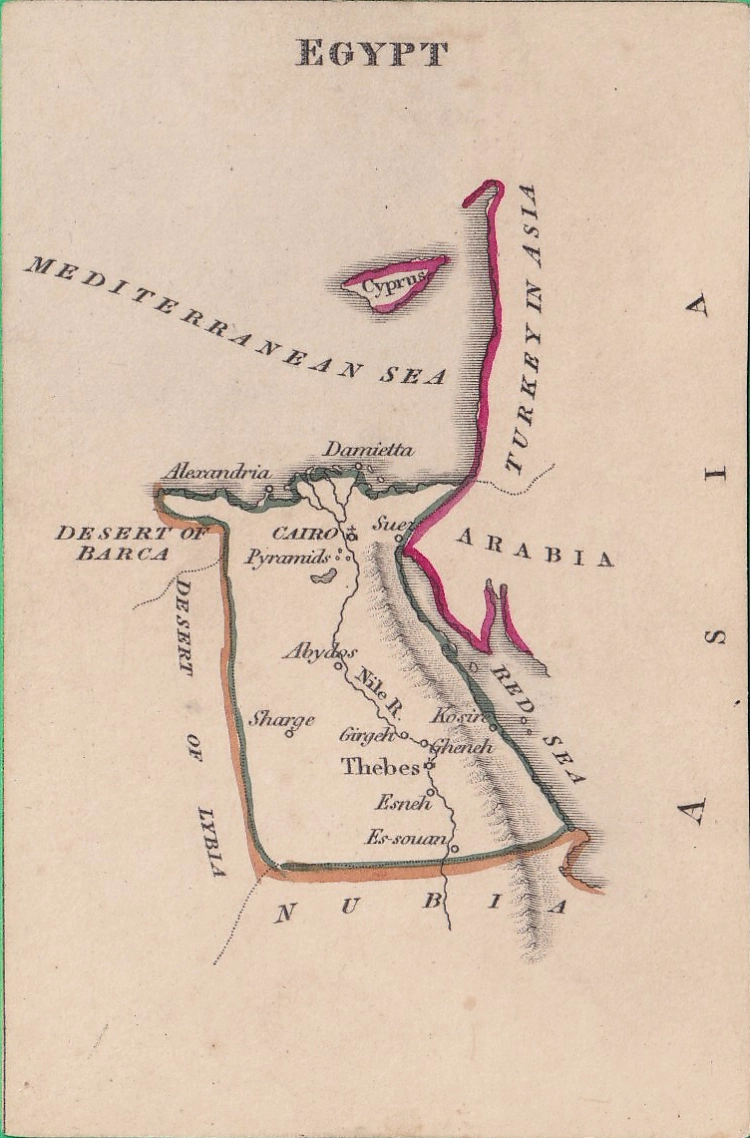
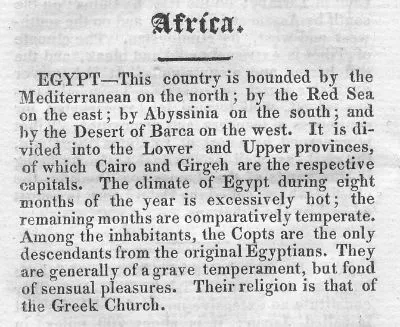
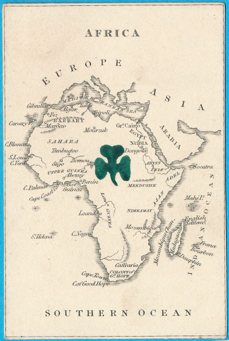
REF: EGYPT
£50.00
![]()
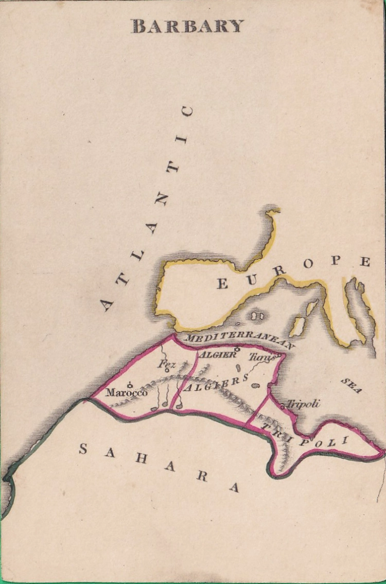
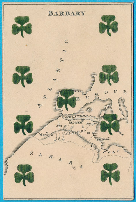
REF: BARBARY
£40.00
![]()
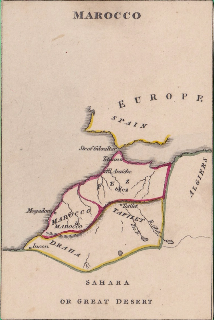
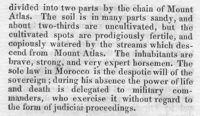
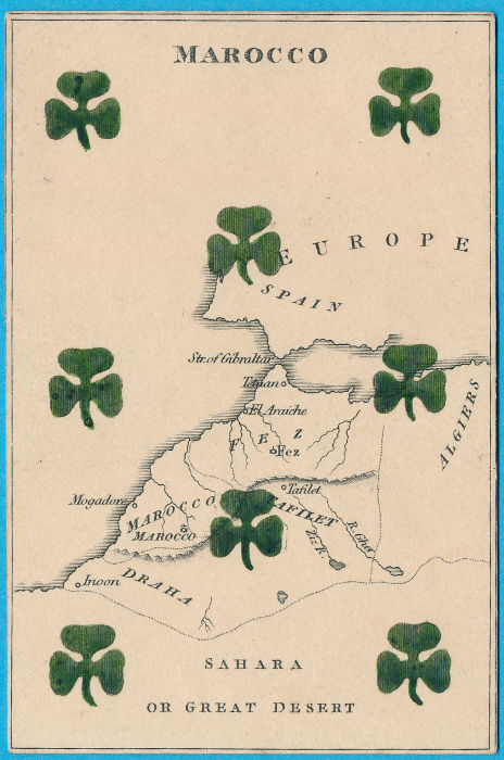
REF: MAROCCO
£40.00
![]()
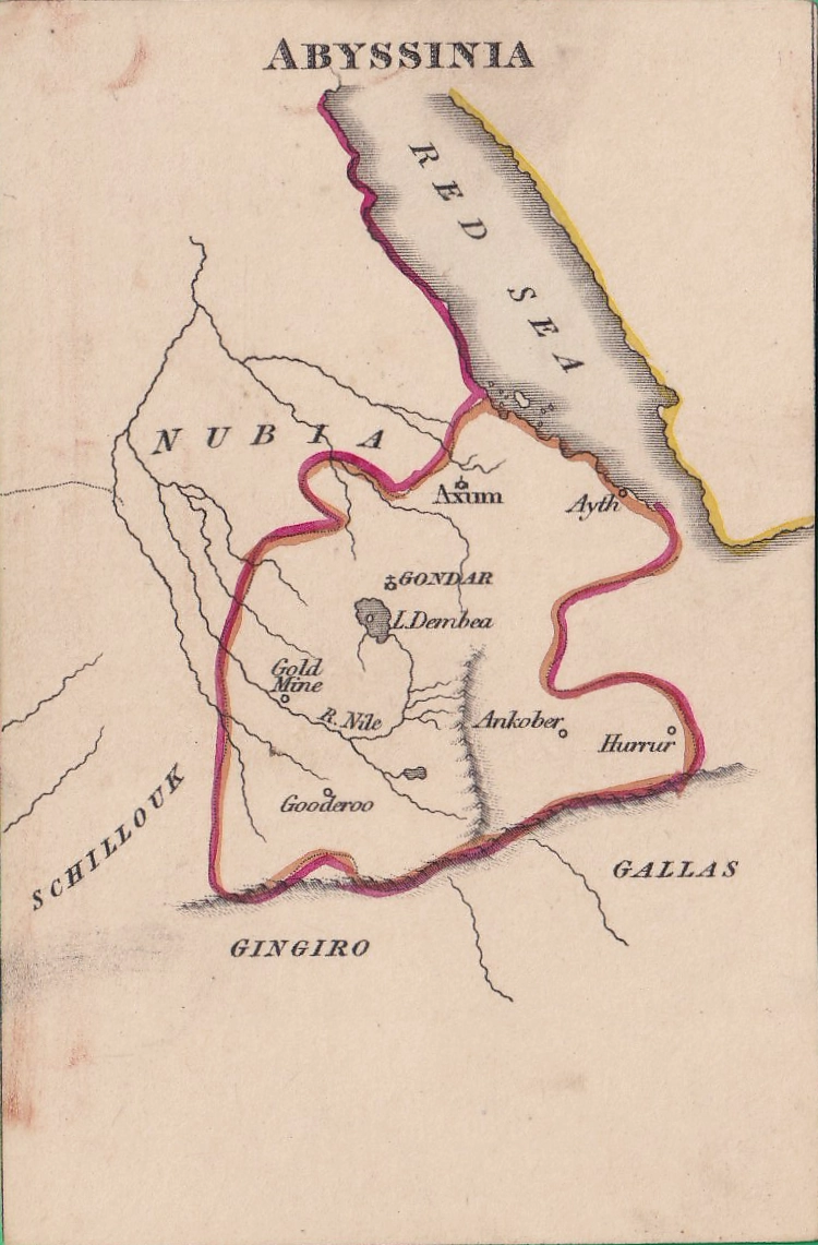
REF: ABYSSINIA
£40.00
![]()
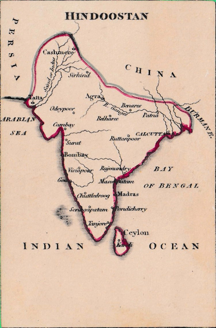
REF: HINDOOSTAN
£70.00
![]()
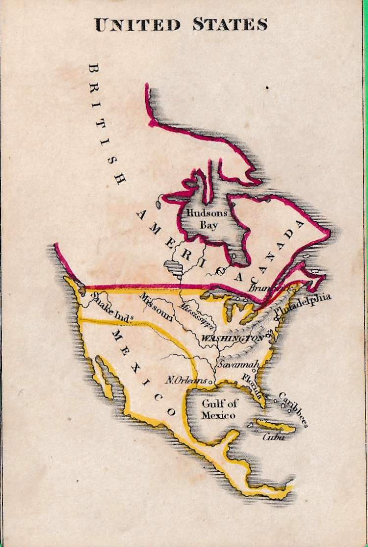
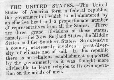
REF: UNITED STATES
£80.00
![]()
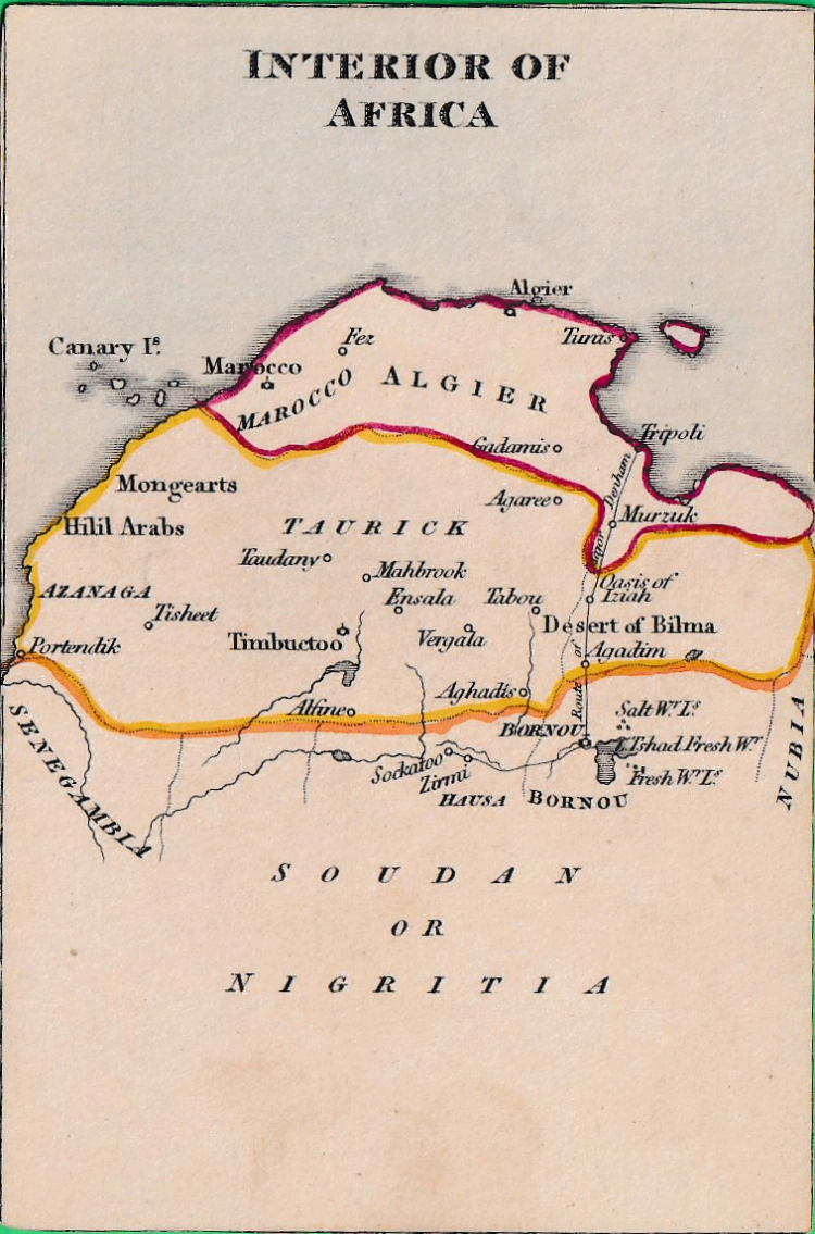
REF: INT OF AFRICA
£70.00
![]()
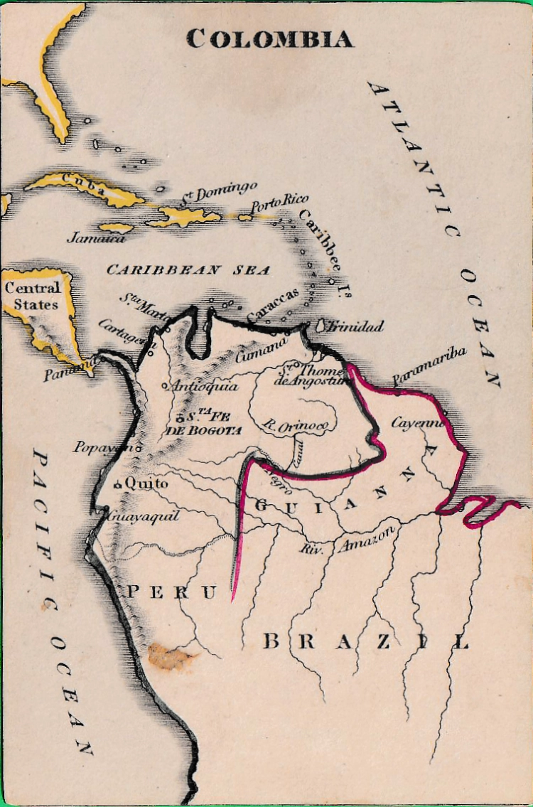
REF: COLOMBIA
£60.00
![]()
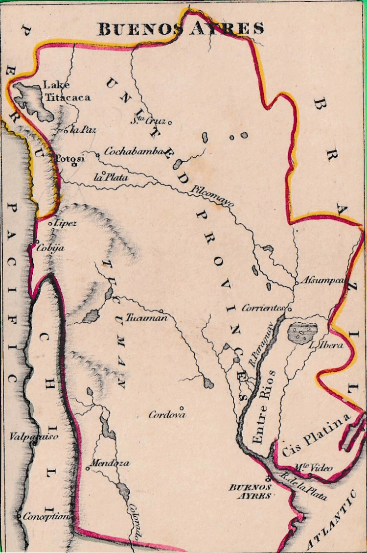
REF: BUENOS AYRES
£60
![]()
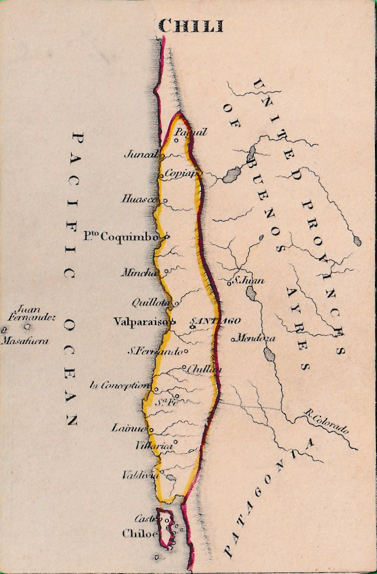
REF: CHILI
£60.00
![]()
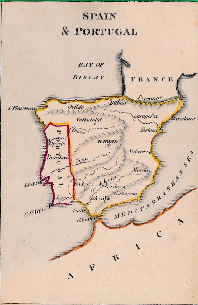
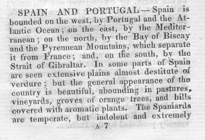
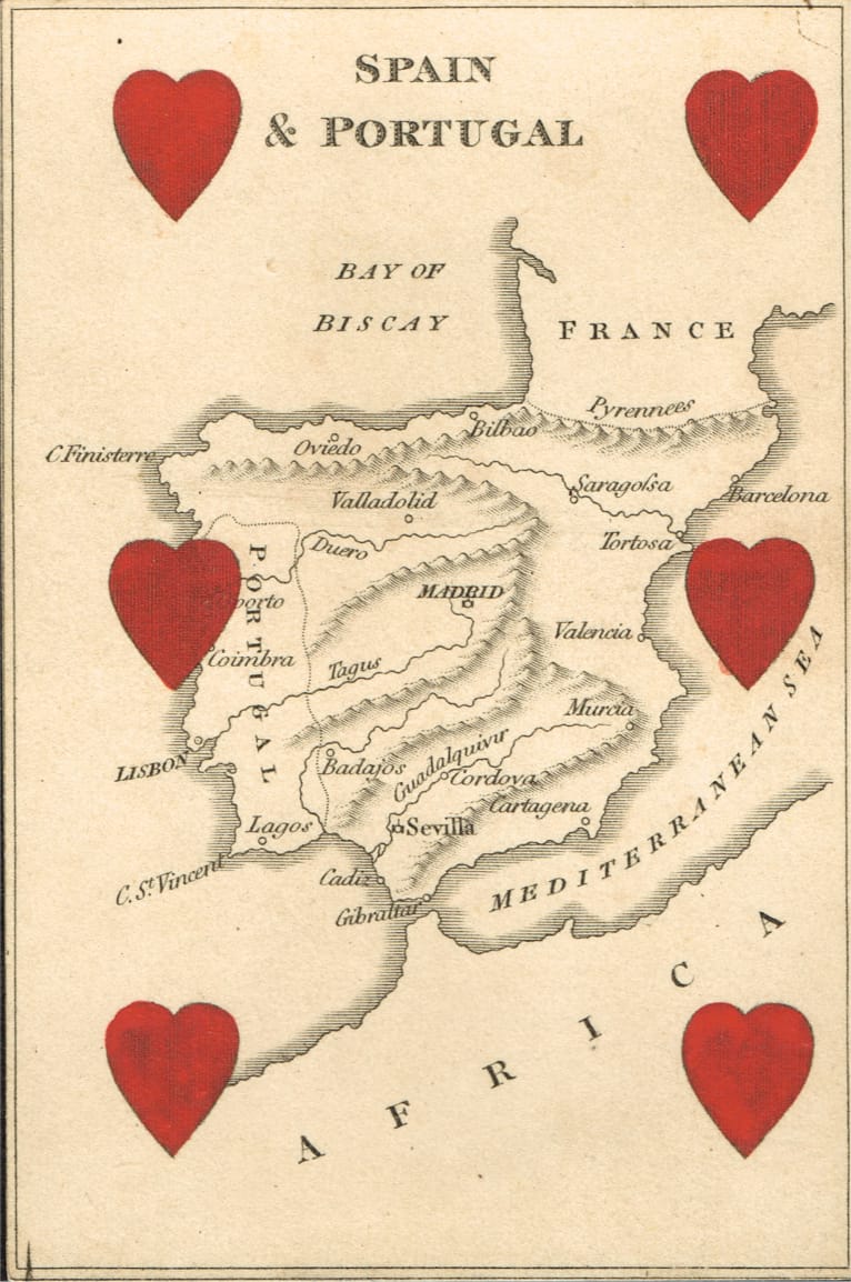
REF: SPAIN & PORTUGAL
£60.00
![]()
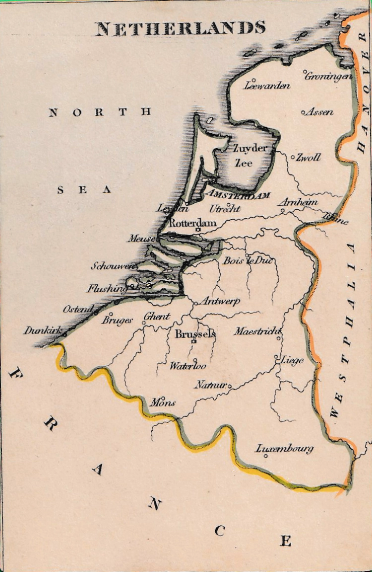
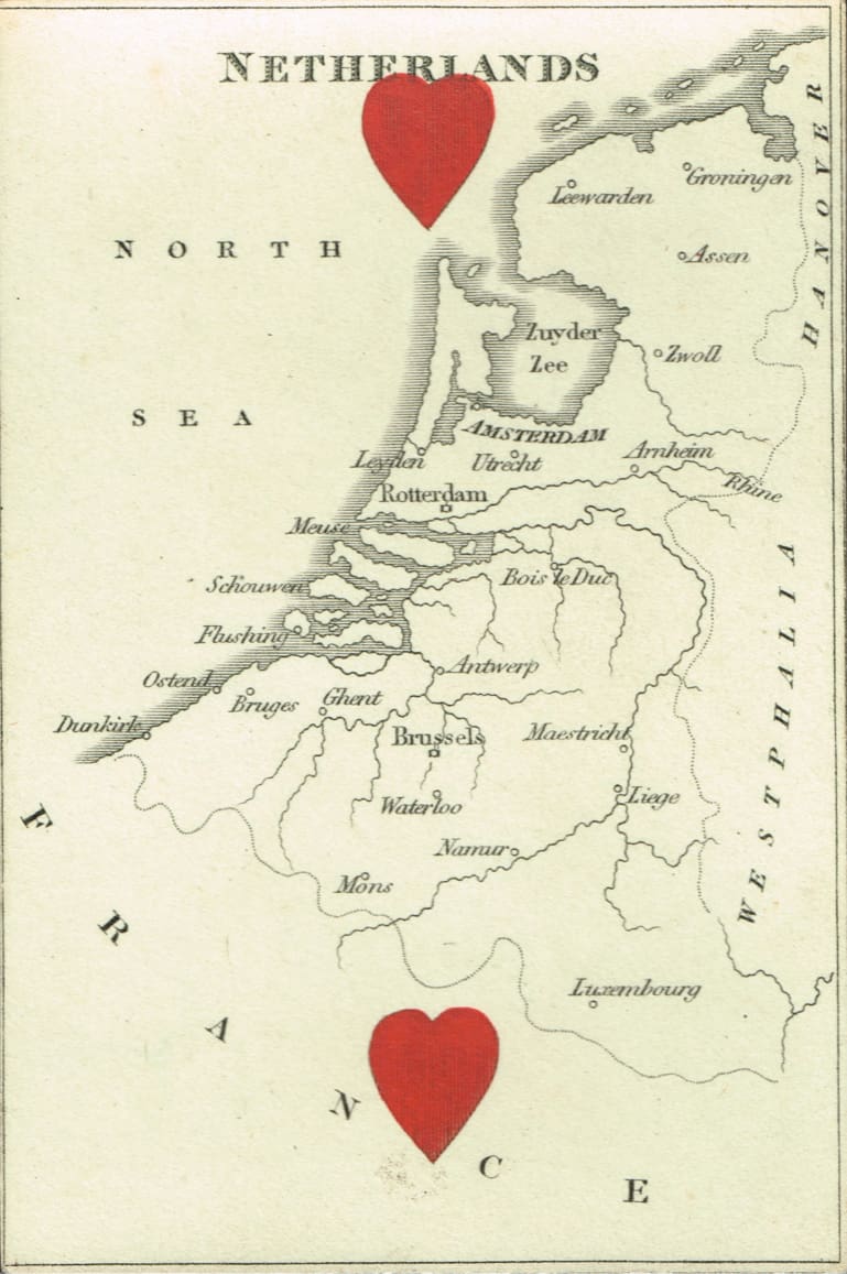
REF: NETHERLANDS -041

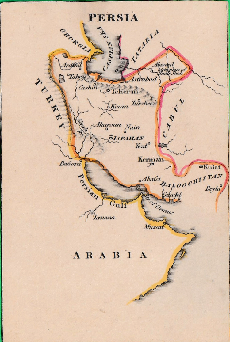
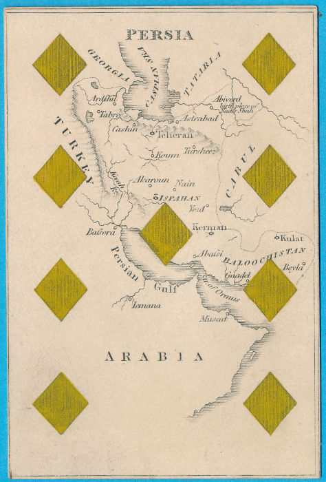
REF: PERSIA
£60.00
![]()
REF: AFRICA -061
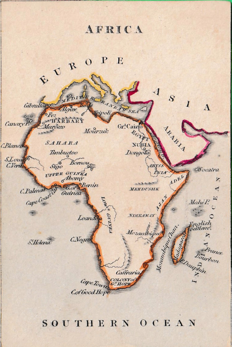
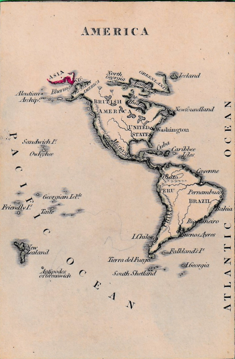
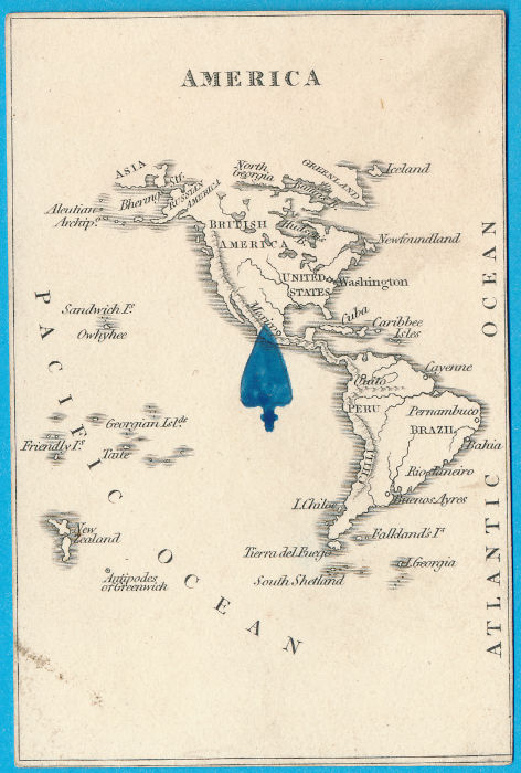
REF: AMERICA
£100.00
![]()
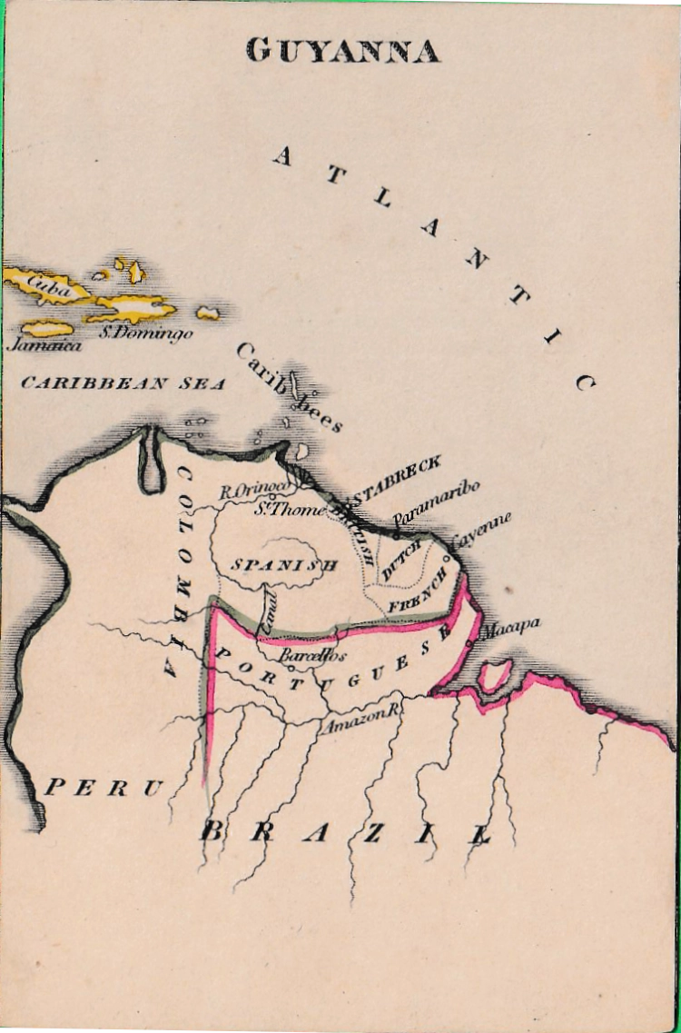
REF: GUYANNA
£50.00
![]()
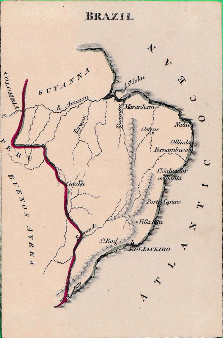
REF: BRAZIL
£50.00
![]()
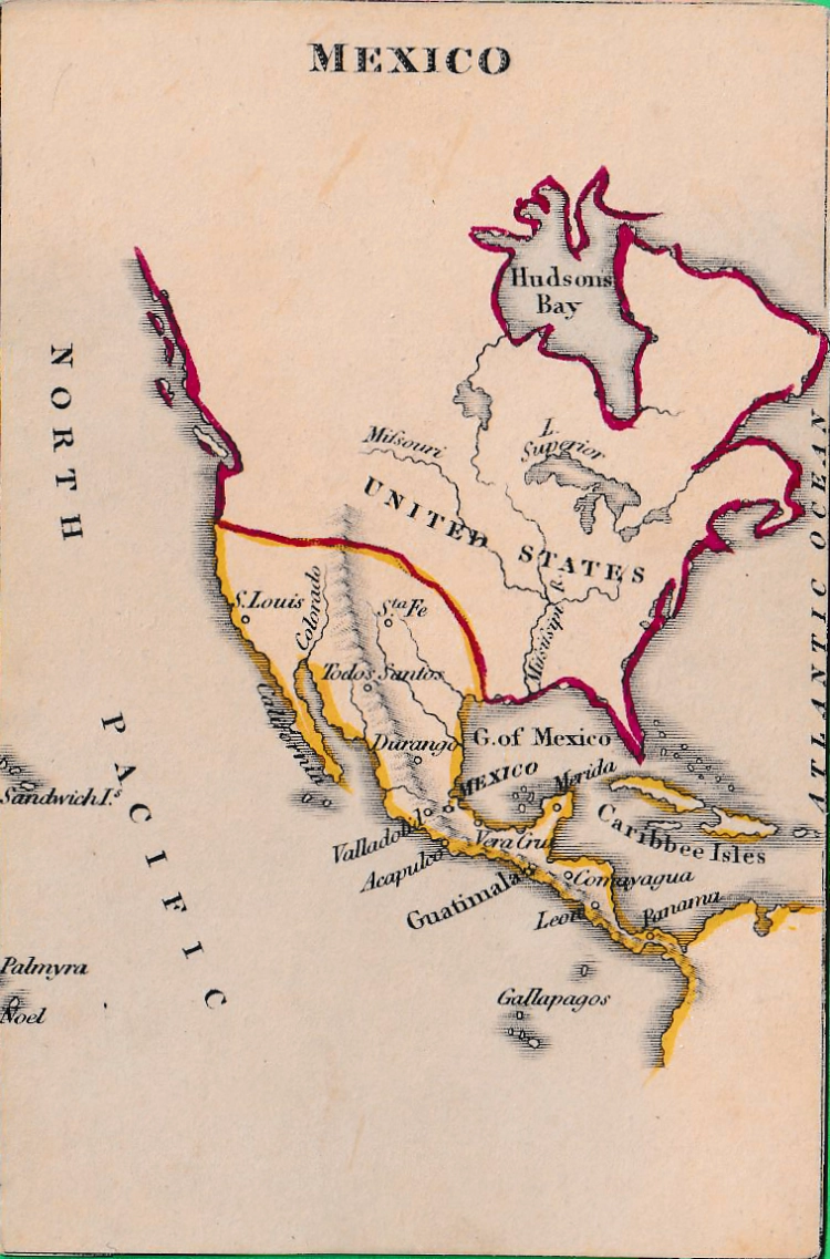
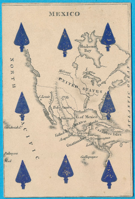
REF: MEXICO
£60.00
![]()
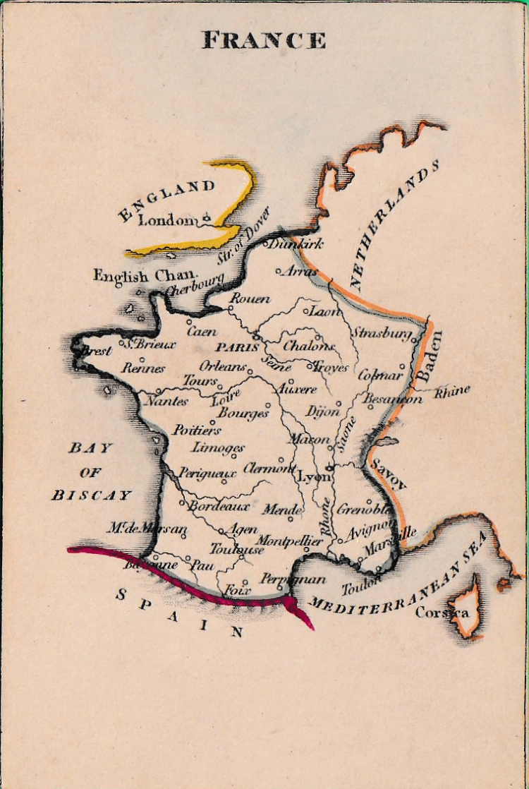
REF: FRANCE
£80.00
![]()
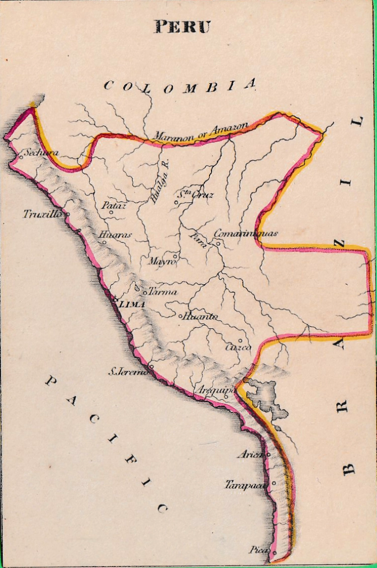
REF: PERU
£60.00
![]()
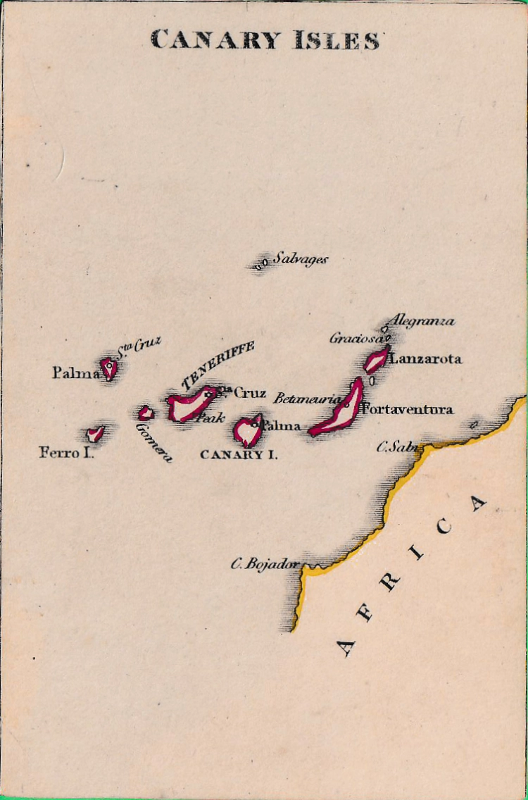
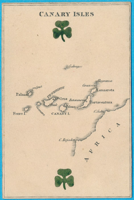
REF: CANARY ISLES
£40.00
![]()
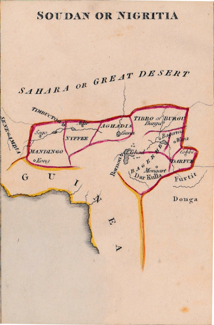
REF: SOUDAN
£60.00
![]()
REF: CGG_SPA ![]()
£80.00
![]()
REF: CGG_CHINA ![]()
£70.00
![]()
REF: CGG_Africa_00H2
![]()
REF: CGG_Canada ![]()
£70.00
![]()
REF: CGG_MAROCCO ![]()
£50.00
![]()
REF: CGG_AMERICA ![]()
£100.00
![]()
REF: CGG_SPA ![]()
£50.00
![]()
REF: CGG_SPA ![]()
£50.00
![]()
REF: CGG_SPA ![]()
£80.00
![]()

REF: CGG_SPA ![]()
£80.00
![]()
REF: CGG_SPA ![]()
£80.00
![]()
REF: CGG_SPA ![]()
£80.00
![]()
REF: CGG_SPA ![]()
£80.00
![]()
REF: CGG_SPA ![]()
£80.00
![]()
REF: CGG_PRU ![]()
£80.00
![]()
REF: CGG_EUR ![]()
£100.00
![]()
REF: CSA8541_3_400
![]()

REF: CCG_FRA _081
![]()